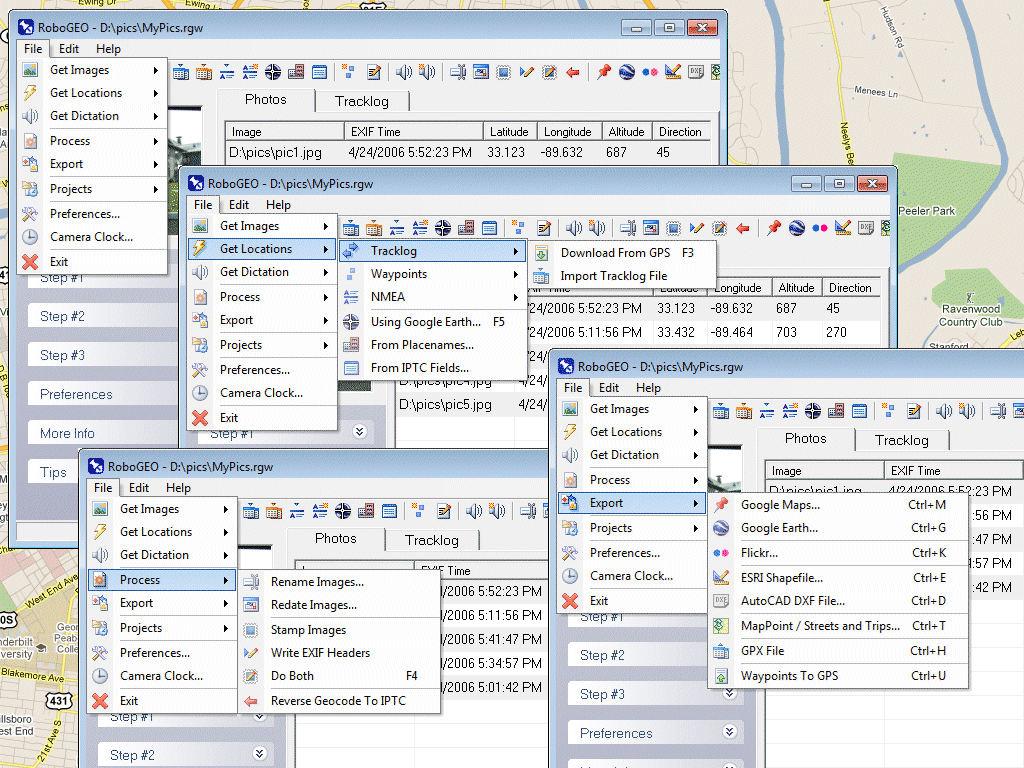
RoboGEO Photo Geocoding System
4.25/5 (390 Reviews)
Geocode photos with latitude, longitude, and altitude info.
Multimedia And Design
Image And Graphic Design
Demo
FREE DOWNLOAD (v4.1)
File Size: 6451KB | Official Download
Key Features of RoboGEO
- Geocode photos with latitude, longitude, and altitude information.
- Stamp the images or write (lossless) to the EXIF headers.
- Create web pages using Google Maps, export KML/KMZ files to Google Earth, upload to Flickr, export shapefiles (SHP) or AutoCAD DXF files.
- Supports Garmin GPS units (USB or COM), but no GPS is required.
- Geotag from a GPS tracklog, waypoints or a GPX file.
Technical Specifications
- Publisher: Robogeo.com
- License: Demo
- Operating System: Windows 7, Windows 8, Windows 10, Windows 11
- Category: Multimedia And Design / Image And Graphic Design
RoboGEO Screenshot